A significant, and potentially historic early fall snow storm could occur in parts of southern Alberta and northwest Montana this weekend, with the heaviest totals focused on the Waterton/Glacier region, owing chiefly to persistent upslope flow. Numerous daily snowfall records are expected to fall, with some record cold overnight lows immediately following the system being possible as well.
Impacts:
The storm is expected to have numerous impacts to travel, especially along and east of the Rocky Mountains, impacting the HWY 1 and 2 corridors west and south of Calgary, as well as along Highways 22 and 3 in southwestern Alberta. While the snow may not initially stick to road surfaces, temperatures will fall below freezing this weekend, and the snow will begin to rapidly accumulate – especially during overnight periods. Moreover, blowing and drifting snow may develop in places on Sunday and early Monday, reducing visibility to near zero. Travel is not advised in these conditions, especially given the fact that many folks don’t quite have their winter tires on yet. Standard snow plough safety will be required, including giving them lots of space and not passing them unless safe to do so. If travel is essential, pack along safety supplies including food, water, a cell phone, a source of light, blankets, and ensure the gas tank is full.
A hard freeze has yet to occur in the area set to receive heavy snowfall accumulations, so fall foliage has yet to peak in some areas. While it will not be as green as in the September 8-10, 2014 Calgary event, some damage to trees is likely, especially given the moderately strong winds that could develop during the day on Sunday. This could also have the undesired effect of tree limbs falling and endangering life and property below, as well as an attendant risk of power outages.
Impacts to agriculture are also expected, as the fall harvest is still underway and slightly behind in some areas of southern Alberta.
Meteorology:
The main weather maker responsible for this event will be an upper low that stalls during the weekend over the northwest US, tapping into both cold, Arctic air from the north, as well as a healthy source of moisture wrapping in from the east. The positioning of the low will place the area of concern beneath its northeast quadrant, where a number of lifting mechanisms will join forces and provide sustained lift supportive of the development of heavy snowfall. In fact, the setup is reminiscent of warm season heavy rainfall events that have been associated with flooding in southwest Alberta in the past.
The main weather maker responsible for this event will be an upper low that stalls during the weekend over the northwest US, tapping into both cold, Arctic air from the north, as well as a healthy source of moisture wrapping in from the east. The positioning of the low will place the area of concern beneath its northeast quadrant, where a number of lifting mechanisms will join forces and provide sustained lift supportive of the development of heavy snowfall. In fact, the setup is reminiscent of warm season heavy rainfall events that have been associated with flooding in southwest Alberta in the past.
 |
| EPS ensembles indicating extremely large accumulations of snow in Waterton/Glacier. |
 |
| SREF ensemble mean has nearly 3 feet of snow near Browning, Montana by late Sunday evening. |
As for the nitty-gritty details, DCVA and warm advection will occur in tandem across portions of the southwestern prairies and far northern High Plains, amid an environment of strengthening lower and mid-tropospheric easterly flow that will translate to sustained orographic ascent along the Rockies. As the low south of the border becomes more organized, moist, low level easterly flow comprising the cold conveyor belt will pile into the terrain, bringing heavy snow and strengthening east-northeasterly surface winds that will begin late Friday, and peak on Sunday and into early Monday.
 |
| Strong, low level easterly flow ramps up on Sunday. |
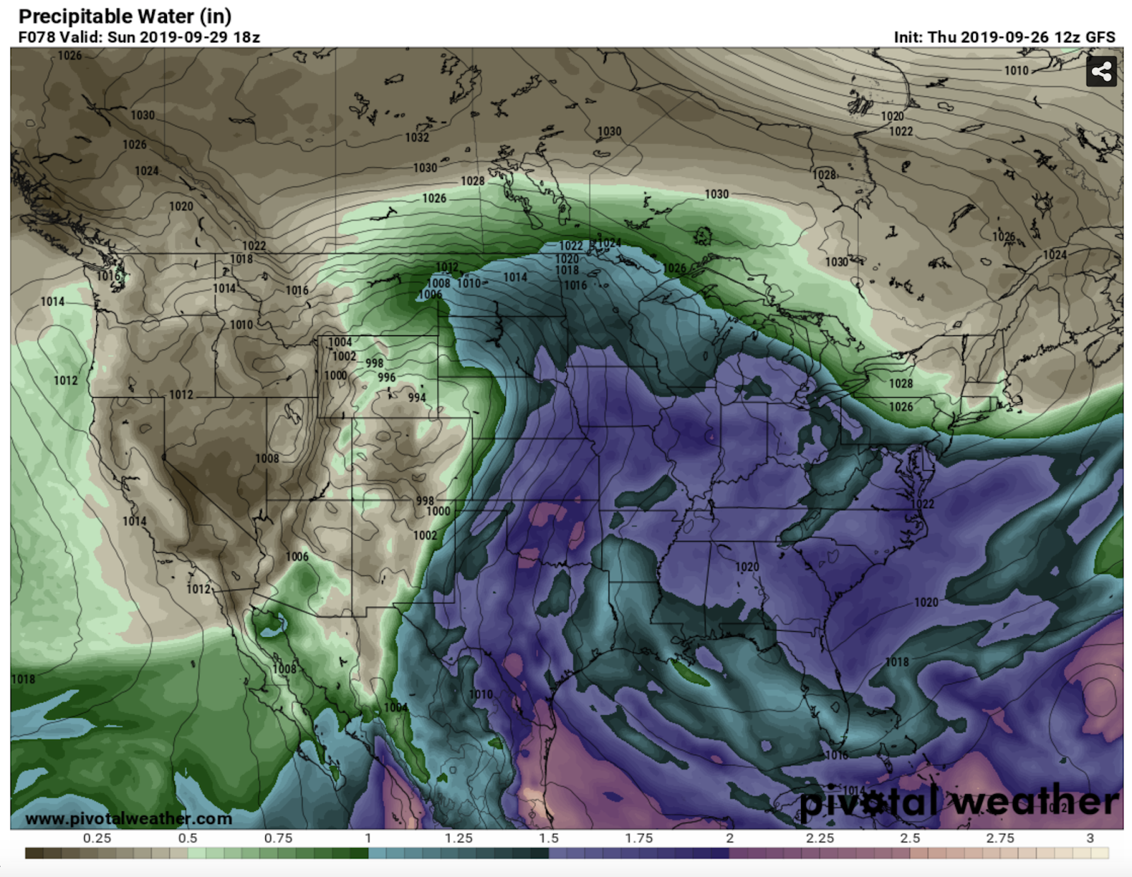 |
| The storm will have ample access to moisture for record-breaking snow totals. |
Vertical temperature profiles will support snow-water ratios increasing to 10:1 or more by early Saturday along the front range, as a deep, DGZ develops aloft, with ample ascent through the profile to support continued development of heavy snow. Model QPF totals are impressive and in good agreement that substantially heavy snow could occur in a localized area along the front range near Waterton/Glacier, with lesser but still significant amounts over the plains to the east – especially as the system departs the Rockies and an area of heavy snow tracks near the international border to the northwest of the surface low. Snowfall totals will vary greatly along the northern fringe of this track, which is one of the factors in the uncertainty of snow totals in the Calgary area.
 |
| A deep dendritic growth zone, as well as deep, easterly flow are indicated on this sounding for Sunday afternoon in extreme SW Alberta, resulting in strong ascent (among other forcing mechanisms) that leads to heavy snow development. Blizzard conditions will be possible across the main area of concern during the latter half of Sunday in particular. |
As skies clear out following the passage of the system, strong radiational cooling over the fresh snowpack could lead to a few record low temperatures being set in parts of Alberta and Montana. Indeed, it will suddenly feel as though we have entered a time warp to late November, as persistent troughing across the region will delay the melt and keep things cool into the first part of October!


